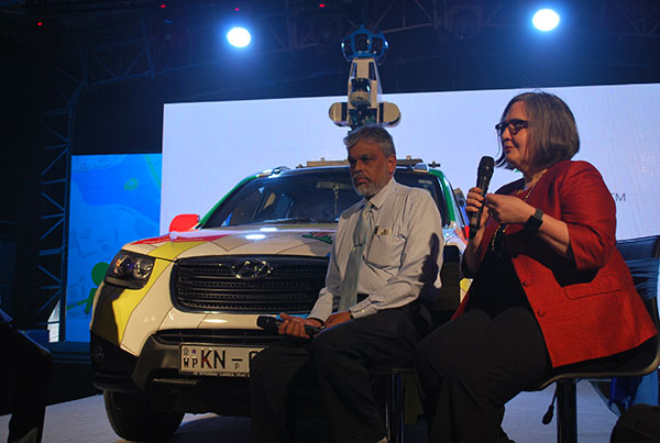
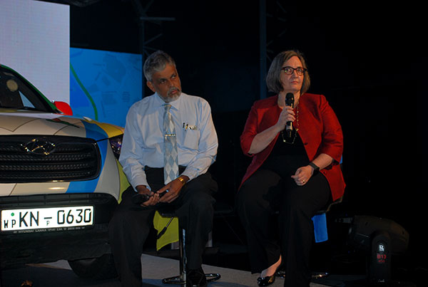
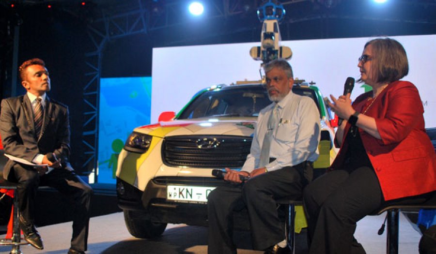
The announcement was made at a media event in Colombo yesterday (11) and was attended by Sri Lanka Tourism Development Authority Director General D.S. Jayaweera and Google Asia Pacific Director of Public Policy Ann Lavin.
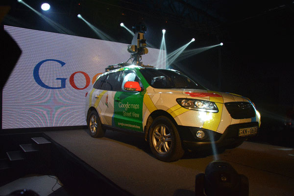
Sri Lanka will be the 65th country to become a part of the Street View family.
Starting today, Google cars outfitted with special cameras will begin driving and taking street-level photographs at a 360-degree angle of public roads across the country starting with Jaffna, Matara and Arugam Bay. The images are then ‘stitched together’ to create a smooth panoramic view.
Going into great lengths to safeguard privacy in Google Maps with Street View, the company says only public areas would be imaged with people’s faces and car licence plates censored. In addition, Google says they are responsive to any requests received from users from users to further blur images that feature them.
Emphasising the benefits of Street View could have on a destination, Lavin said, “After we introduced Street View, the Mayor of Pompeii said that there was a 25 percent tourism growth year-on-year.”
She also added that the project is being launched with the complete approval of the Sri Lankan government. However, she declined to speculate by when the service would be ready for consumers, as images could not be taken during the night, or in less than optimal weather conditions, and once taken, processing takes additional time.
Speaking, Sri Lanka Tourism Development Authority Director General - Dr. D.S. Jayaweera said that the Internet has become a valuable source of information for people around the world interested in visiting our country. "This will allow more people to discover Sri Lanka and at the same time, allow people in Sri Lanka to explore new parts of their country online," he added.
Google Street View is a technology featured in Google Maps and Google Earth that provides panoramic views from positions along many streets in the world. In countries were Google Street View is available, users can access street level imagery by zooming into the location on Google Maps, or by dragging the orange 'pegman' icon from the bottom right-hand corner of the map onto a blue highlighed street.